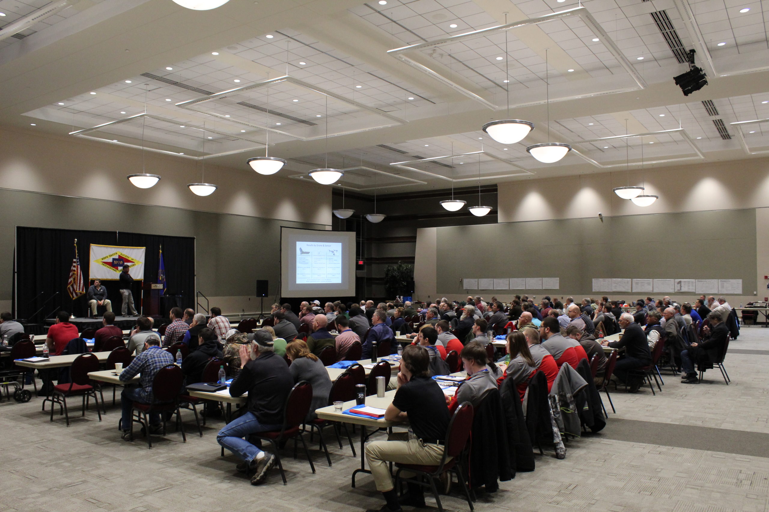
The February 2019 DroneBiz event focused on a new technology in UAS: photogrammetry.
The Great Plains Chapter of Association for Unmanned Vehicle Systems International (AUVSI) and the North Dakota Society of Professional Land Surveyors (NDSPLS) gathered at the Alerus Center to hear ideas about incorporating the brand-new technology into their industries.
Seth Simonson, Education Representative for the Great Plains AUVSI, introduced to two UAS pilots using unmanned technologies to capture aerial imagery for surveying purposes.
Luke Landecker, a Land Surveying Technician for Wenck and Joey Schmit, President/CEO of Flight Pros shared their experiences from working on projects using UAS photogrammetry.
“I’m here to help you learn and apply these methods,” Schmit said, “How do we make sure quality is being delivered every time?”
UAS photogrammetry helps to determine volumes, create maps and formulate 3D models for many industries, including surveying and mining. In North Dakota, licensed surveyors are evaluating the commercial viability of this tool.
Attendees agreed that UAS photogrammetry standards should create industry accountability. Great Plains AUVSI plans to form a subcommittee with members of NDSPLS to begin the process of forming standards and practice.
“Surveyors need to step up.” one member of the surveying industry said.